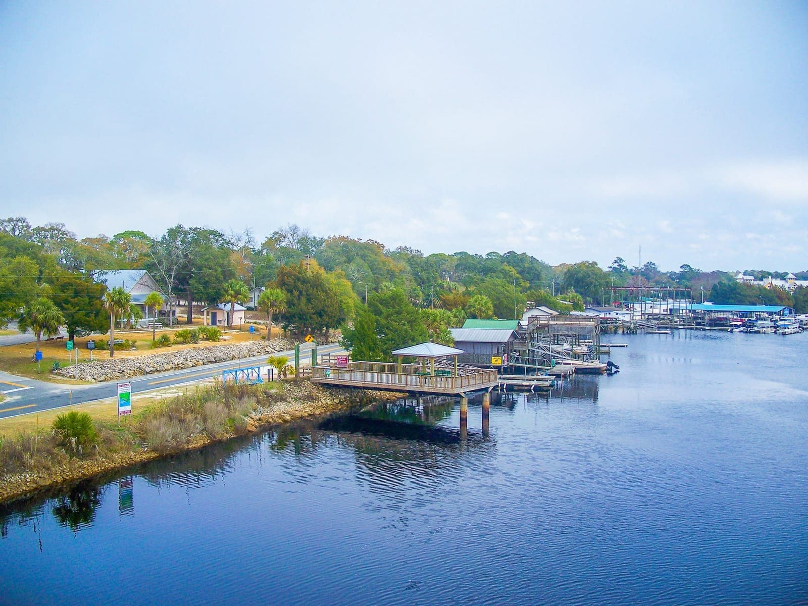
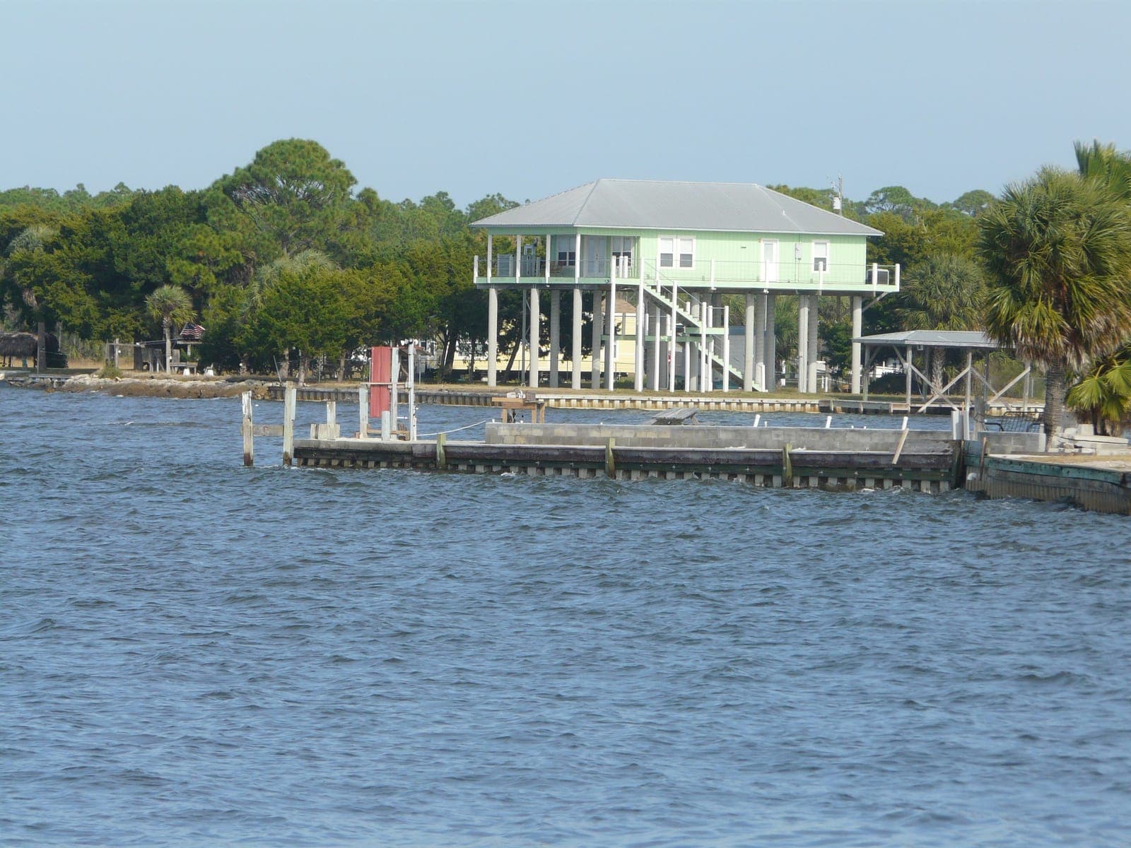
Hagen's Cove Launch (Big Bend WMA)
- No entrance fee
- 6 trailer spots
- 1 lane
Hundreds of waders come to scallop the shallows, where you can walk out a quarter mile or so and still be under waist deep.
The Short Answer
Keaton Beach is a Taylor County launch point for the Big Bend grass flats. Most scallopers put in at the county public ramp on Beach Road or the smaller Dark Island ramp just south, then usually run south to the flats near the Bird Rack. If you would rather wade, nearby Hagen's Cove is the one spot on this coast where people scallop from shore.
Fenholloway-Suwannee zone · Taylor County
No charters listed here yet.
Run scallop trips from Keaton Beach? List your charter for free.
Hundreds of waders come to scallop the shallows, where you can walk out a quarter mile or so and still be under waist deep.
The ramp gets very busy during scallop season, so arrive early.
Hurricane Helene damaged this ramp, so check that it is open before you go.
Privately owned ramp open to the public on Spring Warrior Creek, north of Keaton Beach.
Tides · Hagens Cove
High at 3:19 PM
Check the tide before you leave the ramp. A falling tide can strand a boat on a shallow grass flat.
Today · Mon Oct 26
Tue Oct 27
Wed Oct 28
Thu Oct 29
Fri Oct 30
Sat Oct 31
Sun Nov 1
| Date | High Tides | Low Tides |
|---|---|---|
| Mon Nov 2 | 7:11 AM 3.0 ft9:48 PM 2.8 ft | 2:38 AM 2.2 ft3:12 PM 0.4 ft |
| Tue Nov 3 | 8:46 AM 2.8 ft10:29 PM 3.0 ft | 3:59 AM 1.8 ft4:10 PM 0.5 ft |
| Wed Nov 4 | 10:16 AM 2.8 ft11:01 PM 3.2 ft | 4:53 AM 1.2 ft4:57 PM 0.7 ft |
| Thu Nov 5 | 11:27 AM 2.9 ft11:29 PM 3.5 ft | 5:36 AM 0.7 ft5:36 PM 0.9 ft |
| Fri Nov 6 | 12:18 PM 3.0 ft11:57 PM 3.7 ft | 6:15 AM 0.2 ft6:09 PM 1.1 ft |
| Sat Nov 7 | 12:59 PM 3.1 ft | 6:51 AM -0.1 ft6:39 PM 1.2 ft |
| Sun Nov 8 | 12:23 AM 3.8 ft1:36 PM 3.1 ft | 7:25 AM -0.4 ft7:06 PM 1.4 ft |
| Mon Nov 9 | 12:50 AM 3.9 ft2:12 PM 3.1 ft | 7:58 AM -0.5 ft7:31 PM 1.5 ft |
| Tue Nov 10 | 1:18 AM 3.9 ft2:49 PM 3.0 ft | 8:31 AM -0.5 ft7:55 PM 1.6 ft |
| Wed Nov 11 | 1:47 AM 3.9 ft3:27 PM 2.8 ft | 9:04 AM -0.5 ft8:18 PM 1.7 ft |
| Thu Nov 12 | 2:18 AM 3.8 ft4:08 PM 2.7 ft | 9:37 AM -0.3 ft8:42 PM 1.8 ft |
| Fri Nov 13 | 2:51 AM 3.6 ft4:56 PM 2.5 ft | 10:11 AM -0.1 ft9:09 PM 1.8 ft |
| Sat Nov 14 | 3:29 AM 3.4 ft5:54 PM 2.4 ft | 10:49 AM 0.1 ft9:42 PM 1.9 ft |
| Sun Nov 15 | 4:14 AM 3.2 ft6:56 PM 2.4 ft | 11:35 AM 0.3 ft10:26 PM 2.0 ft |
| Mon Nov 16 | 5:14 AM 2.9 ft7:53 PM 2.4 ft | 12:41 PM 0.5 ft11:56 PM 2.0 ft |
| Tue Nov 17 | 6:35 AM 2.7 ft8:42 PM 2.6 ft | 2:08 PM 0.7 ft |
| Wed Nov 18 | 8:02 AM 2.5 ft9:26 PM 2.8 ft | 3:25 AM 1.7 ft3:13 PM 0.8 ft |
| Thu Nov 19 | 9:28 AM 2.5 ft10:06 PM 3.1 ft | 4:19 AM 1.2 ft4:03 PM 0.8 ft |
| Fri Nov 20 | 10:48 AM 2.7 ft10:45 PM 3.3 ft | 5:01 AM 0.6 ft4:47 PM 1.0 ft |
| Sat Nov 21 | 11:50 AM 2.9 ft11:22 PM 3.6 ft | 5:40 AM 0.0 ft5:26 PM 1.1 ft |
| Sun Nov 22 | 12:42 PM 3.1 ft11:59 PM 3.9 ft | 6:20 AM -0.5 ft6:05 PM 1.2 ft |
| Mon Nov 23 | 1:31 PM 3.2 ft | 7:02 AM -0.9 ft6:43 PM 1.4 ft |
| Tue Nov 24 | 12:36 AM 4.1 ft2:19 PM 3.1 ft | 7:48 AM -1.2 ft7:22 PM 1.5 ft |
Predicted tides from NOAA station Hagens Cove. Wind can push the water higher or lower than predicted. NOAA Station Page ↗
Drive times: about 1 hour 45 minutes from Tallahassee, about 2 hours 15 minutes from Gainesville.
Fenholloway-Suwannee
Something changed in Keaton Beach? Tell us